A Local Cycling & Walking Infrastructure Plan (LCWIP) for Ripon is to be approved at a North Yorkshire Council (NYC) meeting today.
The council’s report says that it is to be regarded as a Phase 1 report. A future Phase 2 of the LCWIP will have draft designs for priority corridors.
The Phase 1 report has taken around 4 years to produce.
The Ripon LCWIP notes that 33% of workers in the study area travel less than 5km to work, and 27% live less than 2km from work.
Despite this:
- 47% of people commute to work by car
- 12% walk and
- 2% cycle
The highest levels of walking and wheeling to work is 50% in the built-up area of Ripon. Levels of cycling to school are low.
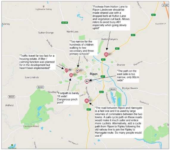
The consultants who wrote the LCWIP took account of suggestions made by local people on widenmypath.com.
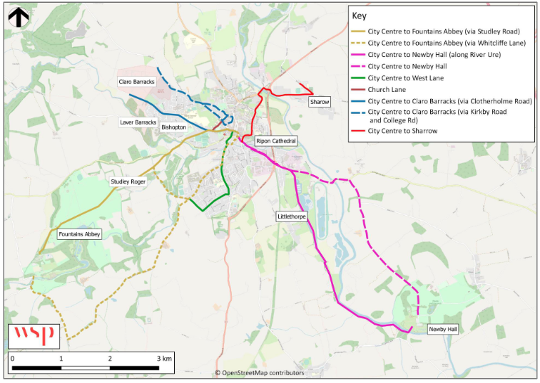
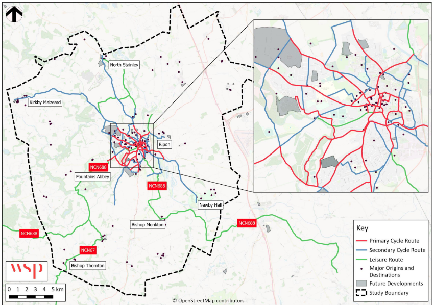
They produced a priority cycling network plan (image at the top of the page), and a more detailed map in an Appendix to the report.
The consultants also identified walking and wheeling priorities. The cycling and walking priority routes are set out in a table.
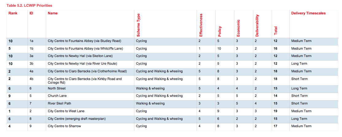
Any delivery of improvements to routes is subject to funding.
Our Ripon representative Ian Kendall is working with Councillors Brodigan and Cunliffe-Lister to make progress on these routes.
Funds have already been allocated to develop a section of route 1a, City Centre to Fountains Abbey. The section concerned is from the Holiday Park to Studley Roger.
Catterick
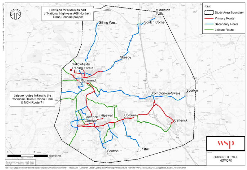
There is also an LCWIP for Catterick.